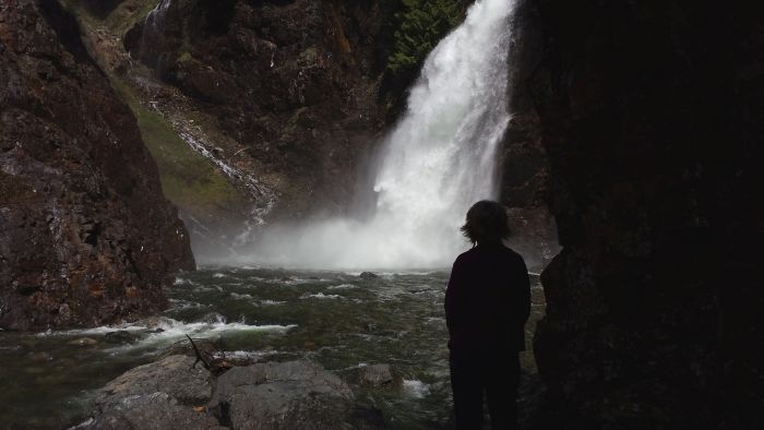
 The last waterfall we visited while on our trip to Discovery Bay was Marymere Falls. It’s located in Clallum County in the north central part of the peninsula just to the south of Crescent Lake and about 20 miles west of Port Angeles. The trail head is next to the Storm King Ranger Station.
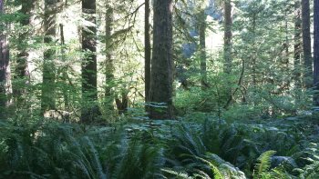
The trail is a round trip of about one and a half miles. It begins by taking you through a large culvert-like tunnel under the highway, then winds through a clean and well maintained path through the rainforest. the scenery is exotic and vivid green. I’ve heard that some describe it as like being in a Lord of the Rings setting. That might be an accurate description.
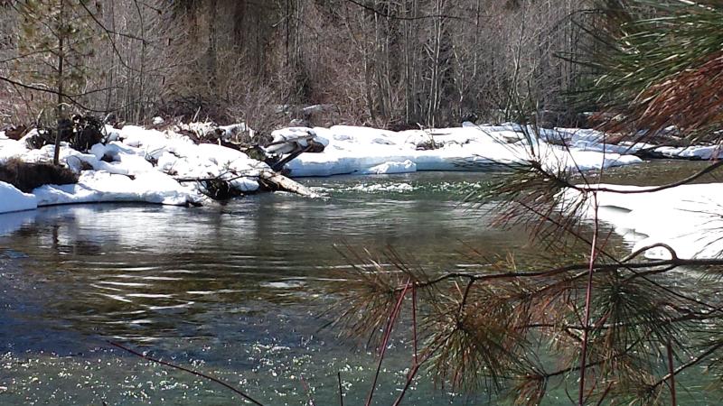
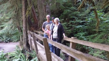
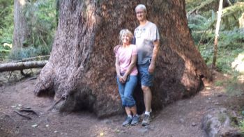
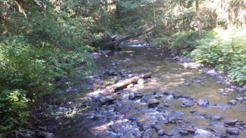
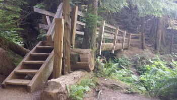
The first part of the hike is fairly flat and level. Along the way, you’ll notice an abundance of ferns and some rather large trees. You’ll come to two rustic bridges. The first crosses Barnes Creek, and the second is immediately following the first and it takes you across Falls Creek. Immediately following the the second bridge, you’ll start climbing stairs and ascending up about 200 feet to a moss covered ravine.
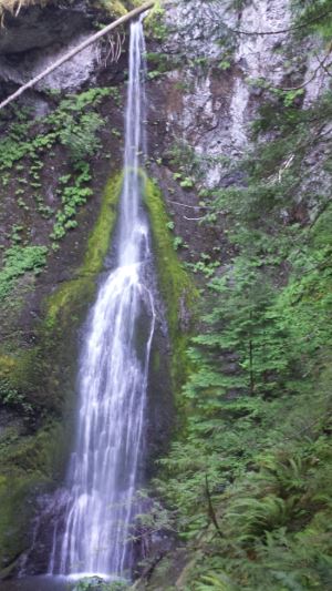
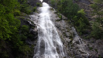
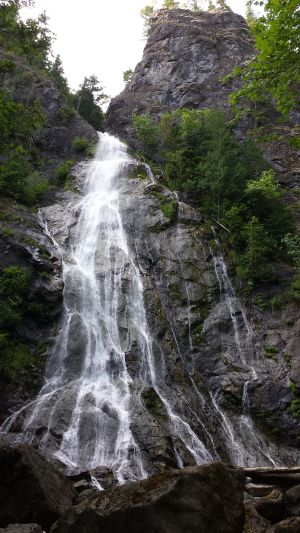
 Along the way, the trail splits into a loop that will take you to two different view points for the waterfall. If you take the left fork, you will first enjoy the lower view point which is directly across from the base of the falls and looking up to the top. The upper view point provides you with a vantage point that is near the center-top of the 100 plus foot waterfall.
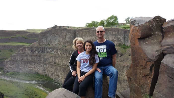
 My mom and dad, who are in their late 70’s/early 80’s were traveling with us and were able to make the hike all the way to the lower viewing area. They elected not to continue the climb to the upper viewing area. Because the last part of the hike was mostly uphill with lots of stairs, I wasn’t sure that they would continue all the way in to where they could see the falls, but they were troopers – very tired troopers, but they made it.
 I can’t begin to describe the feelings and enjoyment that I get from experiencing the beauty of the outdoors that God created for us. All I can say is that the experience is well worth the short distance to travel and the easy walk to these falls.
 After leaving
 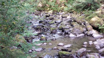 It was a short, easy walk along a well groomed trail to get to the falls. We especially hoped to find waterfalls like this that were easily accessible for my parents who were with us on this trip. They get around pretty well, but long and rugged trails would definitely hold them back.
 While traveling to Discovery Bay with my Parents, we decided to check on a couple waterfalls that were along the way. There were four of them between Shelton and Port Townsend that we had identified and we had hoped to visit at least 2 or 3 of them. I hadn’t done a significant amount of research on any of these falls, but I had downloaded a brochure from olympicpeninsulawaterfalltrail.com before we left on the trip.
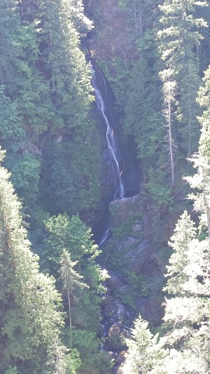
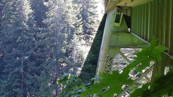 The High Steel Bridge spans across a deep but narrow Skokomish River valley. From the bridge, you can see the river about 420 feet below. After walking about half way across the bridge, I looked back over my left shoulder and saw the narrow Vincent Creek Falls dropping about 125 feet over the side of the chasm and then winds down into the Skokomish River.